Navigating the Jungle: A Geographical Guide to Jim Corbett
Jim Corbett National Park is not just a single "park" with one gate. It is a massive spread of 520 square kilometers of core area and an additional buffer zone, spread across the foothills of the Himalayas.
For a first-time visitor, the geography can be confusing. Where is Dhikala? How far is my resort from the gate? Which river flows where?
At Corbett Online Booking, we want you to understand the terrain before you arrive. Here is your breakdown of the jungle's layout.
The Lay of the Land: Understanding the Zones
The park is roughly divided by river valleys and mountain ridges. The town of Ramnagar acts as the central hub (Zero Point).
1. The Central & Northern Hub (Dhikala)
- Location: Deep inside the forest, moving North-West from Ramnagar.
- Geography: Defined by the Ramganga River. This is the valley area with vast grasslands (Patli Dun).
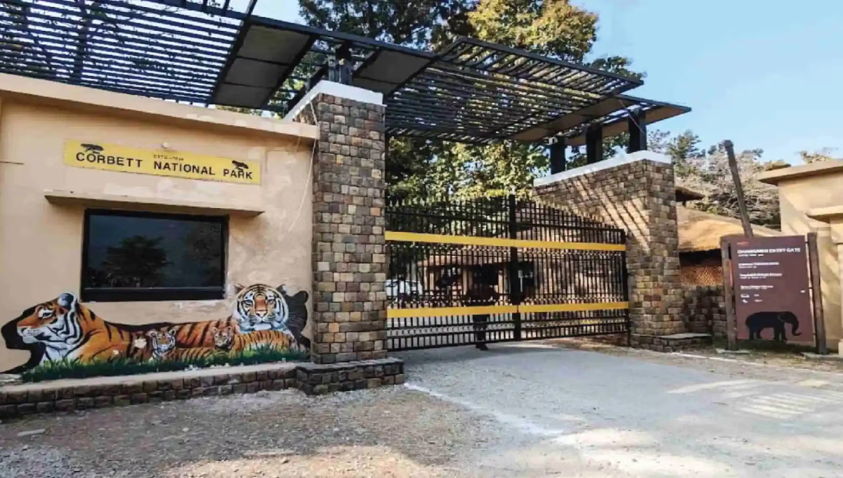
- Entry Gate: Dhangarhi Gate.
- Distance: The gate is 19 km from Ramnagar, but the main lodge (Dhikala) is another 30 km inside the gate.
2. The Southern Hub (Bijrani)
- Location: Directly adjacent to Ramnagar city.
- Geography: Dense Sal forests and hilly terrain.
- Entry Gate: Amdanda Gate.
- Distance: Just 2 km from Ramnagar. This is the most accessible zone.
3. The Southern/Western Hub (Jhirna & Dhela)
- Location: Towards the southern boundary of the reserve.
- Geography: Drier forests and farmlands turning into wilderness.
- Entry Gate: Dhela Gate.
- Distance: Approx. 15-20 km from Ramnagar.
4. The North-Eastern Hub (Durga Devi)
- Location: On the North-Eastern boundary.
- Geography: Hilly, mountainous terrain with the Mandal and Ramganga rivers.
- Entry Gate: Durga Devi Gate.
- Distance: Approx. 28 km from Ramnagar.
Distance Chart: Ramnagar to Entry Gates
Use this table to plan your travel time from your hotel to the safari point.
| Destination / Zone | Entry Gate | Distance from Ramnagar | Drive Time |
|---|---|---|---|
| Bijrani Zone | Amdanda Gate | 02 Km | 10 Mins |
| Dhikala Zone | Dhangarhi Gate | 19 Km | 30 Mins |
| Jhirna Zone | Dhela Gate | 20 Km | 35 Mins |
| Dhela Zone | Dhela Gate | 20 Km | 35 Mins |
| Durga Devi | Durga Devi Gate | 28 Km | 45-50 Mins |
| Sitabani | Bhandarpani Gate | 25 Km | 45 Mins |
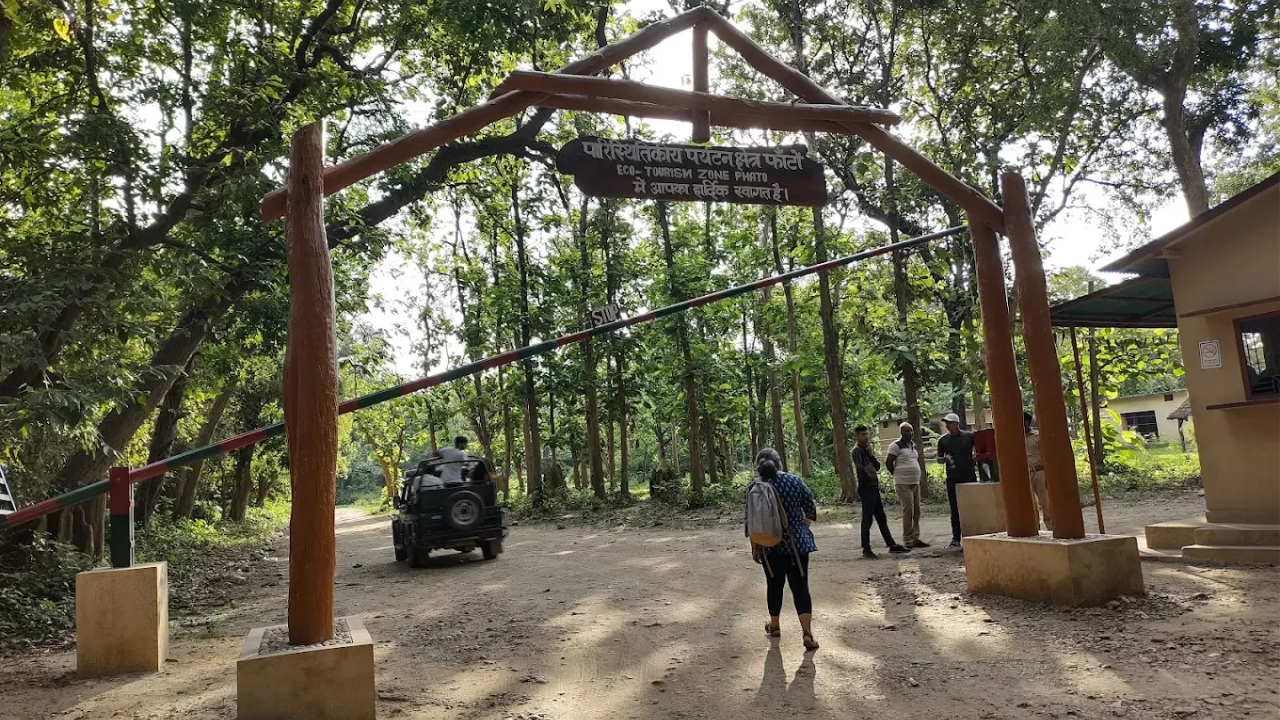
| Phato Zone | Phato Gate | 25 Km | 45 Mins |
Resort Clusters: Where will you stay?
The hotels are not inside the map of the park (except Forest Lodges). They are clustered in specific areas outside the boundary:
- Dhikuli Belt: The main strip along the Kosi River. Most luxury resorts are here. Close to Bijrani and Dhikala gates.
- Marchula: Higher up in the hills near Durga Devi. Scenic and quiet.
- Dhela Village: Budget and eco-resorts near Jhirna/Dhela zones.
- Kyari/Pawalgarh: Deep inside the Sitabani buffer zone. Great for birders.
Need Help Navigating?
Don't get lost in the map. Let our drivers guide you.