Navigating the Wild: A Jim Corbett Map Guide for Malerkotla Travelers
If you are looking at a map of Jim Corbett National Park from your home in Malerkotla, it can look overwhelming.
You might be asking: "Why are there so many gates?" or "How far is the tiger zone from my hotel?"
Don't worry. At Corbett Online Booking, we understand that for a guest traveling all the way from Malerkotla, understanding the layout is key to a stress-free holiday.
Here is a simplified breakdown of the jungle map, specially designed for you.
The Hub: Ramnagar Town
Think of Ramnagar as the Zero Point.
When you arrive from Malerkotla (by train or car), this is where you land.
- Railway Station: Located here.
- Bus Stand: Located here.
- The River: The Kosi river runs along the town. Most resorts are on the other side of this river.
Understanding the Zones on the Map
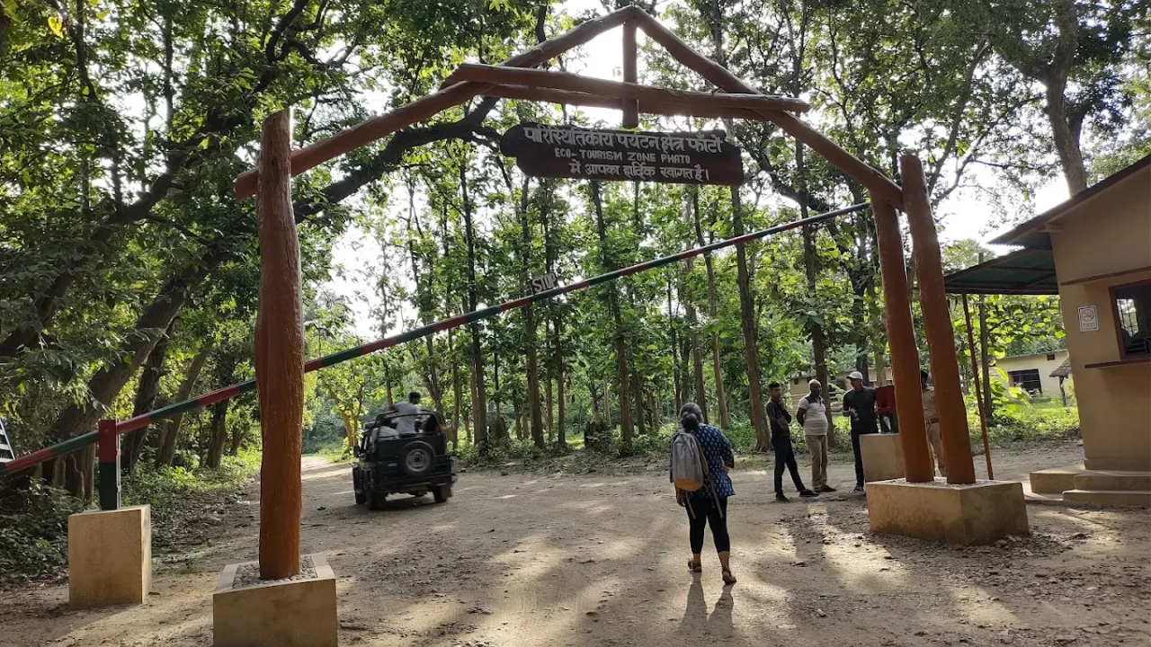
To manage tourism, the government has divided the map into zones. You cannot simply enter anywhere. You must enter through a specific Entry Point.
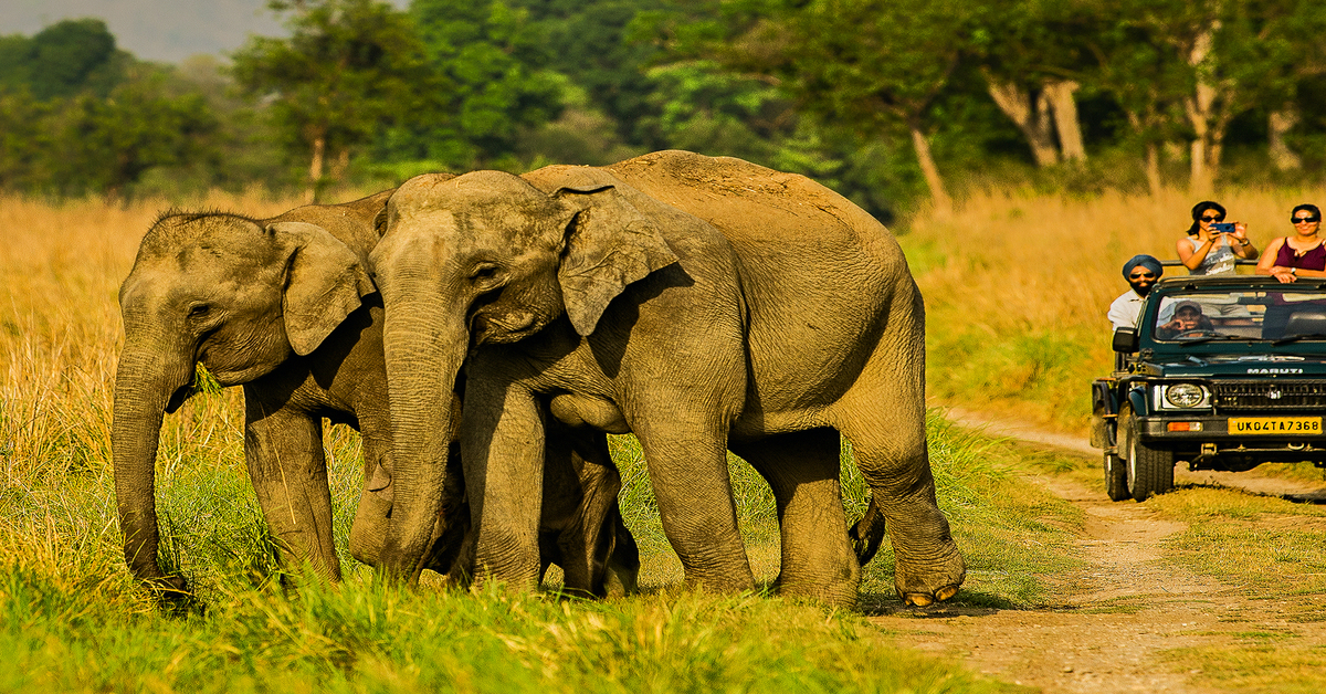
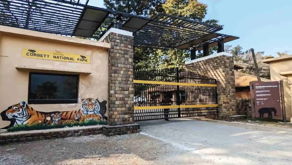
- The Core (Dhikala): If you look at the map, this is the middle. However, the entry (Dhangarhi Gate) is about 19km away from Ramnagar.
- The Close One (Bijrani): This is the zone closest to Ramnagar. If you are staying in the city, this gate (Amdanda) is just 5 minutes away.
- The Bottom (Jhirna/Dhela): These are located towards the south of the map. They share the same entry road.
- The Buffer (Sitabani): This area surrounds the park. It is not in the "Core" map but is part of the same landscape.
Why You Need a Local Driver
Coming from Malerkotla, you might have your own car. But looking at the map is different from navigating the terrain.
- Signal Issues: Google Maps often stops working near the forest entry gates due to no signal.
- Rough Roads: The road to Jhirna or Phato involves crossing river beds which are not marked on standard maps.
- Gate Timings: Being late by even 5 minutes means the gate closes and your permit is cancelled.
This is why Corbett Online Booking provides experienced drivers who know the map like the back of their hand.
Finding Your Resort on the Map
When booking your package from Malerkotla, ask us where the resort is located.
- River View: Usually in the "Dhikuli" area (Center of the map).
- Hill View: Usually in "Marchula" (Top right of the map).
- Jungle View: Usually in "Dhela/Kyari" (Bottom/Outer edges of the map).
Essential Tips for Malerkotla Guests
- Download Offline Maps: Before you leave Malerkotla, save the Ramnagar area on Google Maps.
- Trust the Driver: If the map says "30 minutes" but our driver says "45 minutes," trust the driver. Jungle roads are slow.
- Gate Confusion: Double-check which Gate is mentioned on your permit. Going to the wrong gate on the map is a common mistake!
Let Us Guide You
Don't let a confusing map ruin your trip from Malerkotla. We will ensure you reach the right gate at the right time.